Who is using here "alternative maps" as OSM (open street maps) in his device ?
which one have you choose and why?
Do you use
only alternative or mix with manufacturer (Garmin, tom-tom ...) ones ?
I've tried an OSM DEM for my last off-road trip, and I must admit I have not found any best things, a lot of informations (too much...)
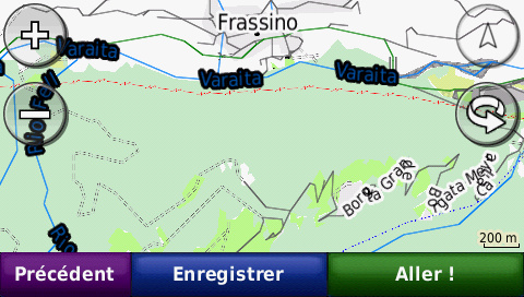
On the device (Zumo) it's something like this (haven't done screenshot in navigation configuration, but looks like the base camp screen shot ...

)
instead of
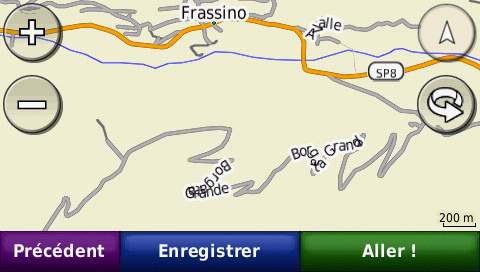
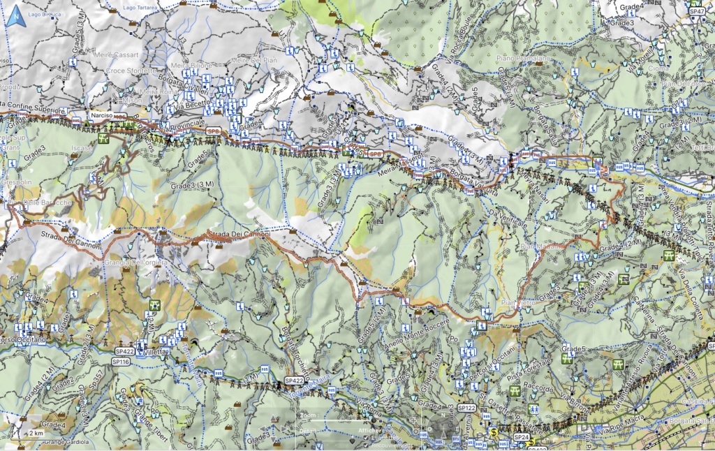
and on Base camp
So what are your experiences, with which declination, and interest compared to original


I tried OSM but original Garmin is better.
In Turkey I used local Topographic maps for off-road


Tried the "Freizeitkarte" this WE on our last Off-Road trip ... I have to admit for instance it is not the panacea ... Yes a lot of information (too much ? : not sure I need to know if I'm in forest, park, uncultivated land or vineyard : think I can see it; yes can be some interesting symbols as rocks ...) No more speed limitation on roads (yes not interesting riding off-road
); and we have some deals off-road comparing with garmin's ... some tracks existing on one and not the other , and vice-versa; have to explore this area later
Sure i will continue to ride both maps for instance; but not convinced one is best then the other ...


